SPATIAL DATA - COLLECTION
Information System for Multi-Level Documentation of Religious Sites & Historic Complexes, Acronym: 5dMeteora
Flight planning for the Holy Site of Meteora:
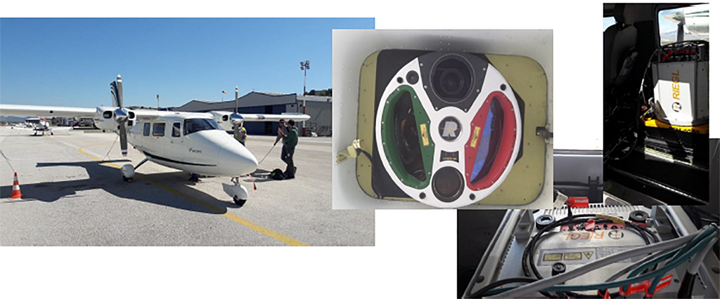
The geometric documentation of cultural heritage sites of such extent and morphological complexity as that of Meteora needs specialized techniques. The metric and imagery information has to be geometrically accurate and of high quality, resulting from economic, fast and automated methods. Techniques of aerial photogrammetry are recommended for mapping large and inaccessible areas with the above requirements. Within this project, conventional aerial images from manned or unmanned aerial vehicles are captured and airborne laser scanning is also implemented (airborne LiDAR - Light Detection And Ranging). 2220 vertical and oblique aerial images were captured by a manned aircraft, covering the entire site of Holy Meteora, i.e., an area of 10km2. A camera of type NIKON D800E with a lens corresponding to a focal length of 50 mm was used. Each image has a size of 7360 × 4912 pixels. The images were taken from a low altitude and correspond to an average scale of 1: 20,000. They were captured in July 2017 and being available to the partners of the project. About 50 ground control points (GCPs) were collected through RTK GPS measurements for the scope of georeferencing. Special targets were placed on the ground for georeferencing purposes and their coordinates were determined using a dual-frequency GNSS receiver. Also, the coordinates of specific points on the rocks were determined by topographic measurements.
Flight planning for the rocks of Modi and Alyssos:
In order to capture the rocks Modi and Alyssos in greater detail, a Phantom IV RTK unmanned aerial vehicle (UAV) with a 20 MP camera was used and a total of 5000 vertical and oblique images were acquired. A total of 21 flights were executed in different time periods from 6 different takeoff and landing points, which were identified in accordance with the criteria of accessibility and visibility.

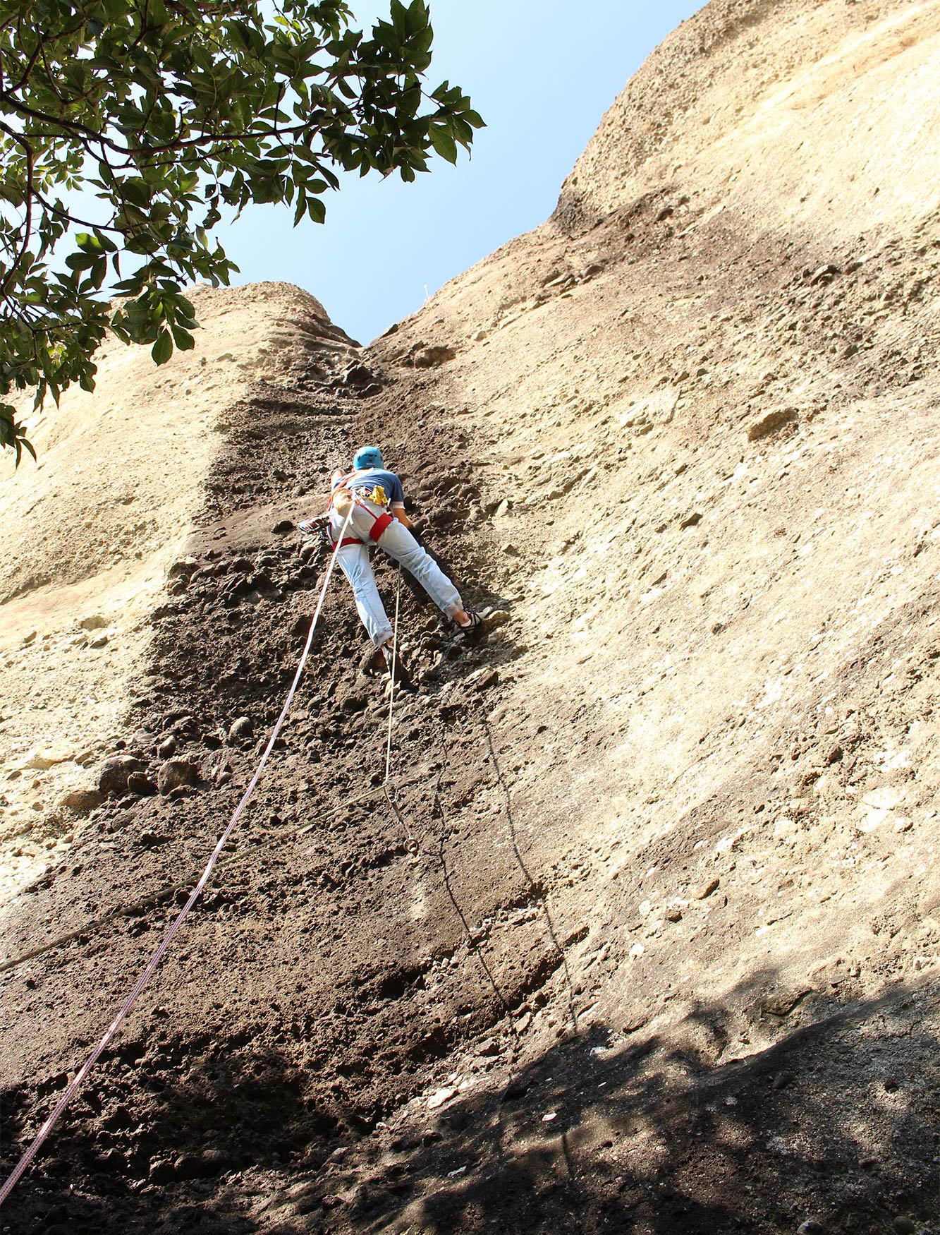
The points were reachable either by car or on foot following short walking paths, except for point (4) which required climbing on a 15-meter-high vertical section of the rock of Modi.
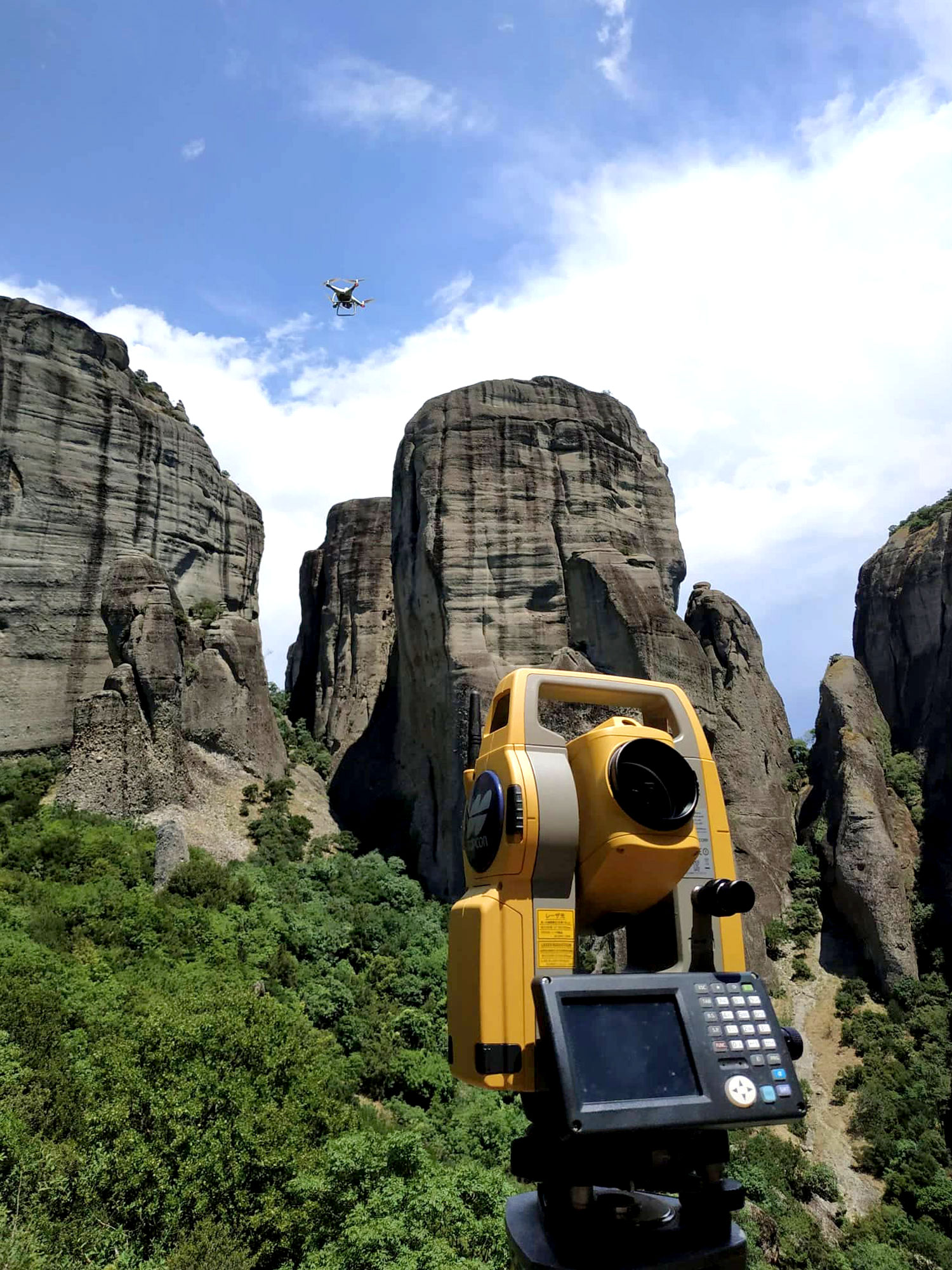
The area of interest where images were collected from the UAV, the ground image acquisition as well as the scanning process from the ground-based laser scanner were also determined for the detailed 3D photorealistic representation of the case study. The missions were conducted with the DJI UAV Phantom 4 RTK which is equipped with a 1-inch 20 Mpixel camera sensor and lens of a 24 mm focal length for full frame, as well as a dual-frequency GNSS receiver using permanent GNSS tracking stations.
The network of permanent stations MetricaNET was exploited for the needs of the project. The connection to the network was established using a mobile SIM card, which is placed in the controller of the UAV and undertakes the transmission of data between the aircraft and the ground permanent stations. Therefore, no separate base transmitter is needed to send the data to the aircraft GNSS receiver. Prior to each UAV operation, a thorough flight planning was conducted taking into consideration the mapping needs and the environmental conditions
Every mission was carried out in good weather conditions with little or no winds ( > 10m/sec) and the solar wind index (Kp-index) was below 3. The choice of time for flying was also a critical factor in order to avoid the shadows that are created by the rocks during the day. All flights were manually operated, i.e the operator maneuvered the UAV with full control and took the images, except for the missions that were conducted with a takeoff point at the top of Modi (Figure 6). In order to capture the images that cover the top surface of Modi and Alyssos, the shots were taken in the form of a pre-determined survey grid. The plans were uploaded to the UAV the day before the ascent and it was ensured that they are properly read by the software that runs on the UAV controller.
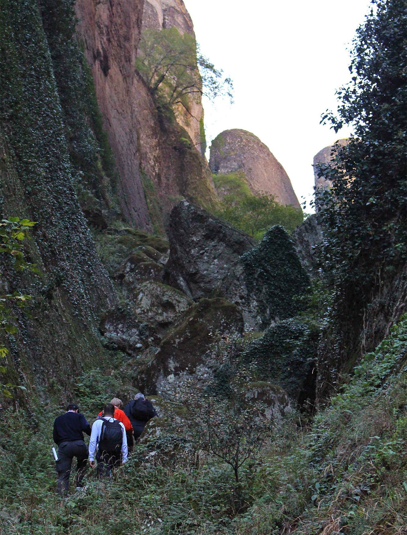
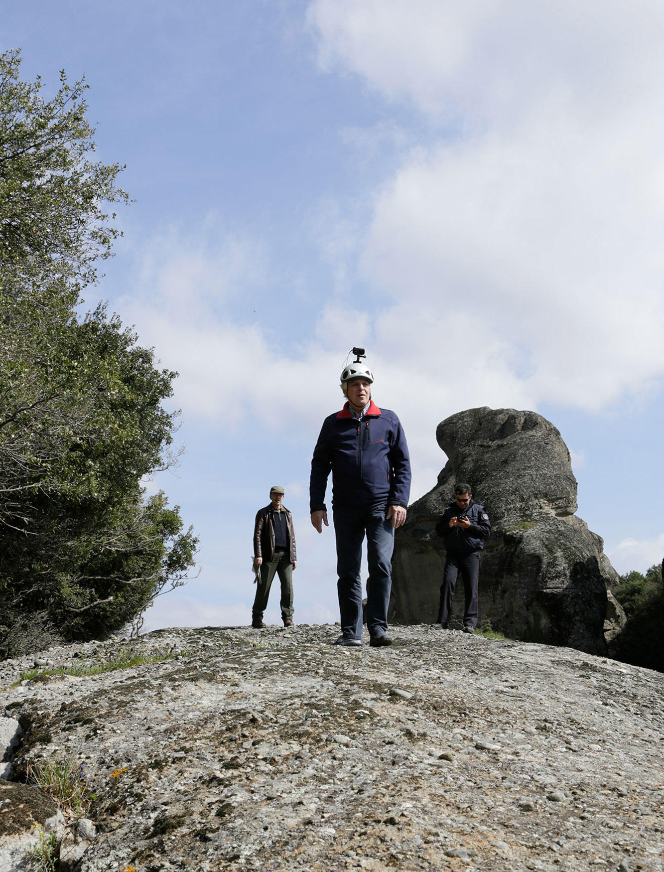
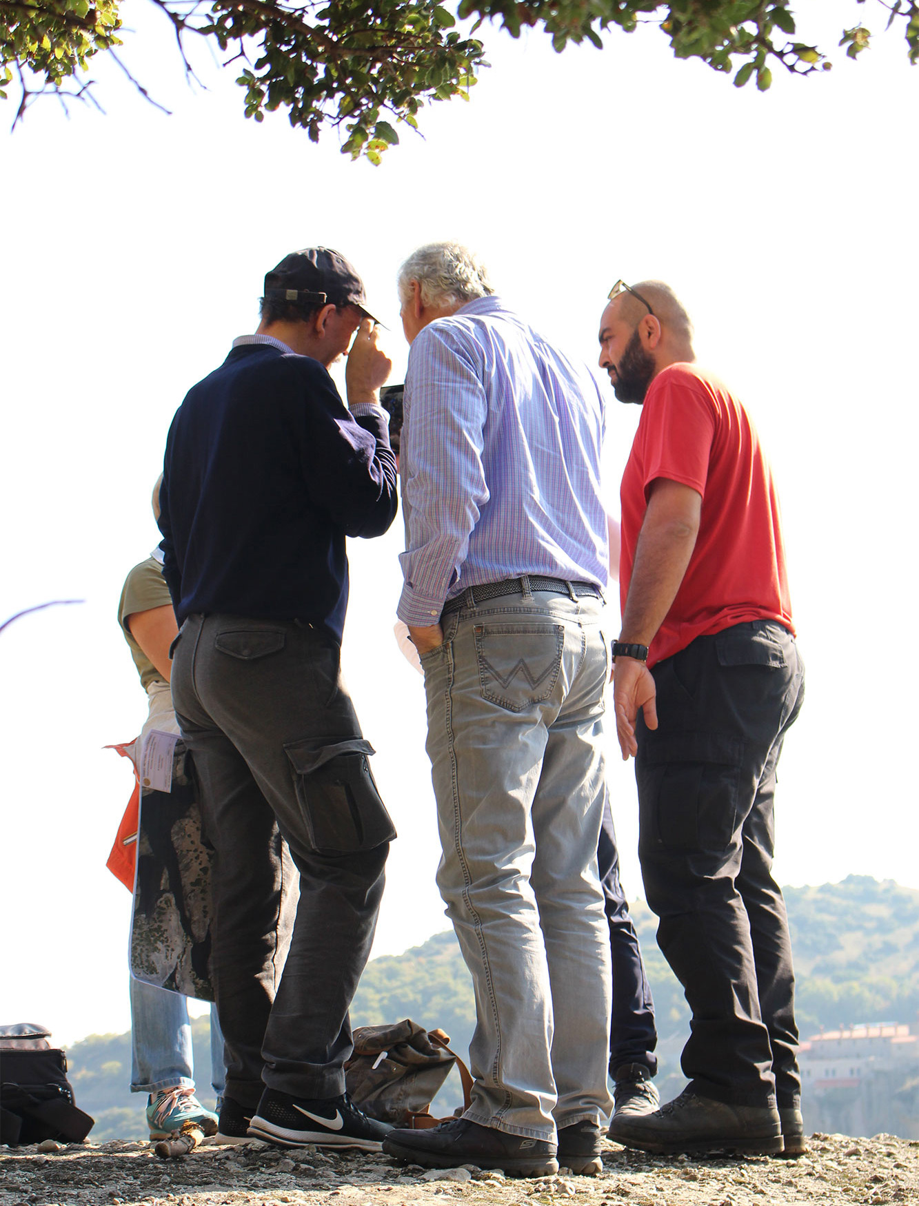
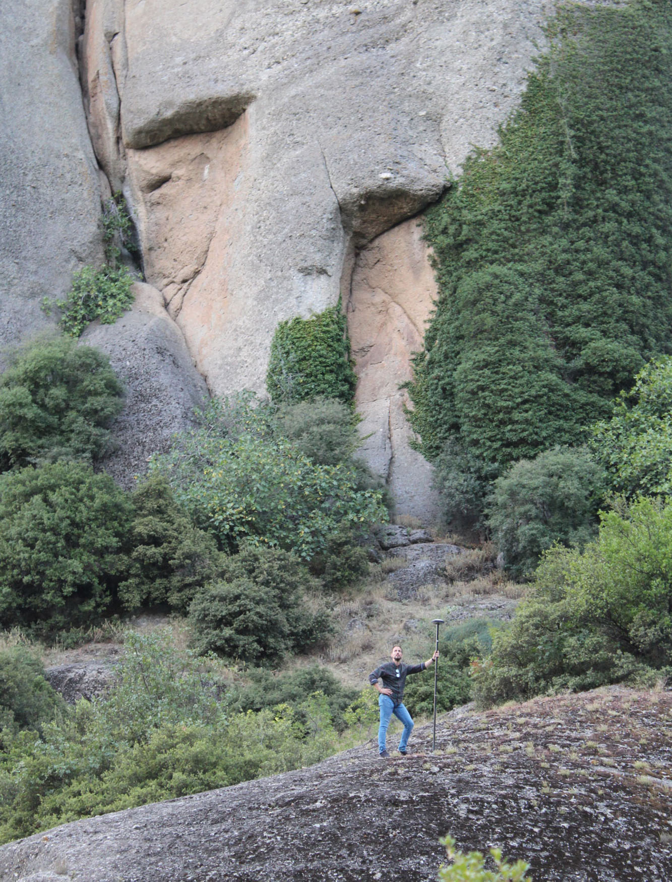
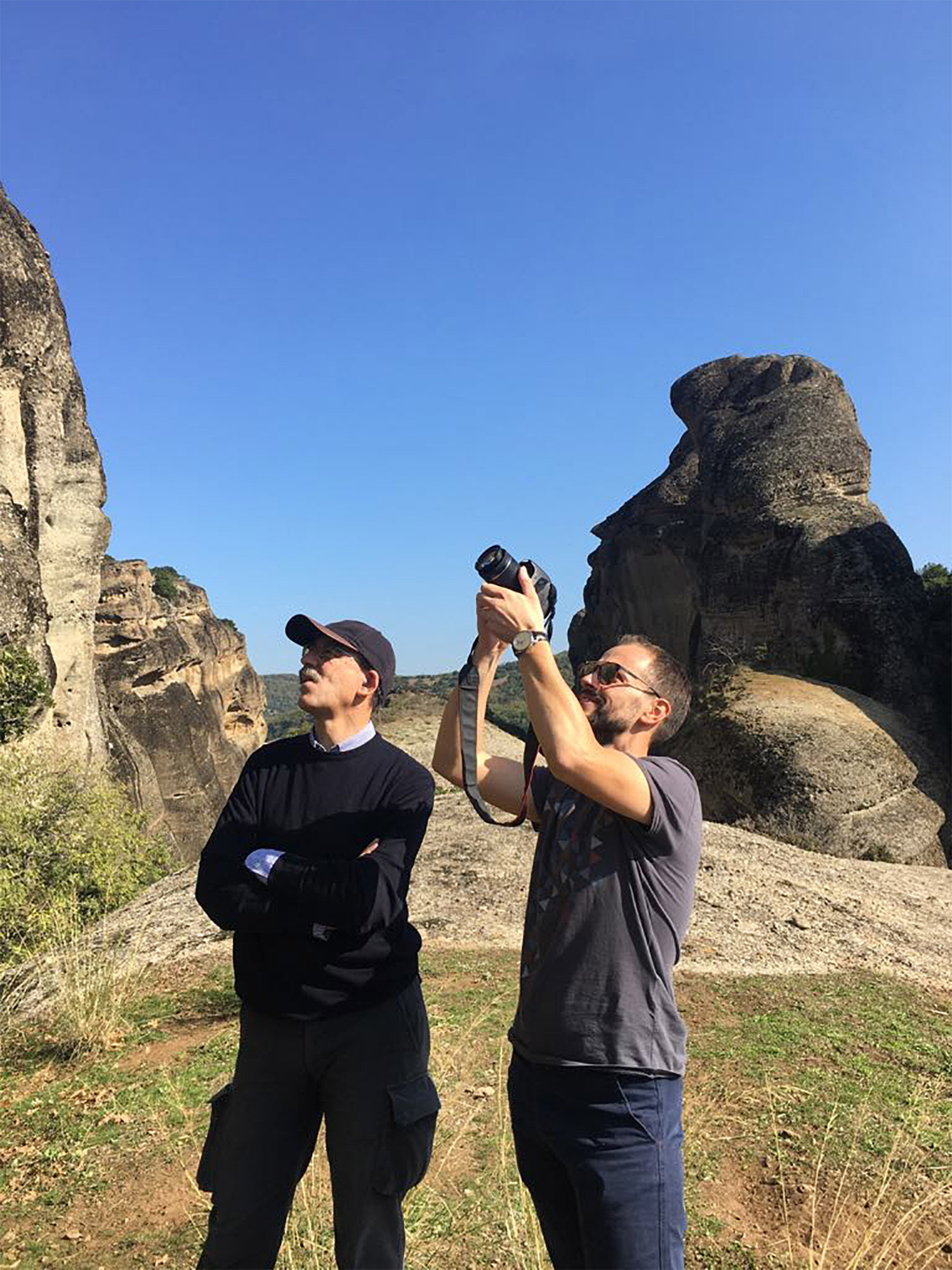
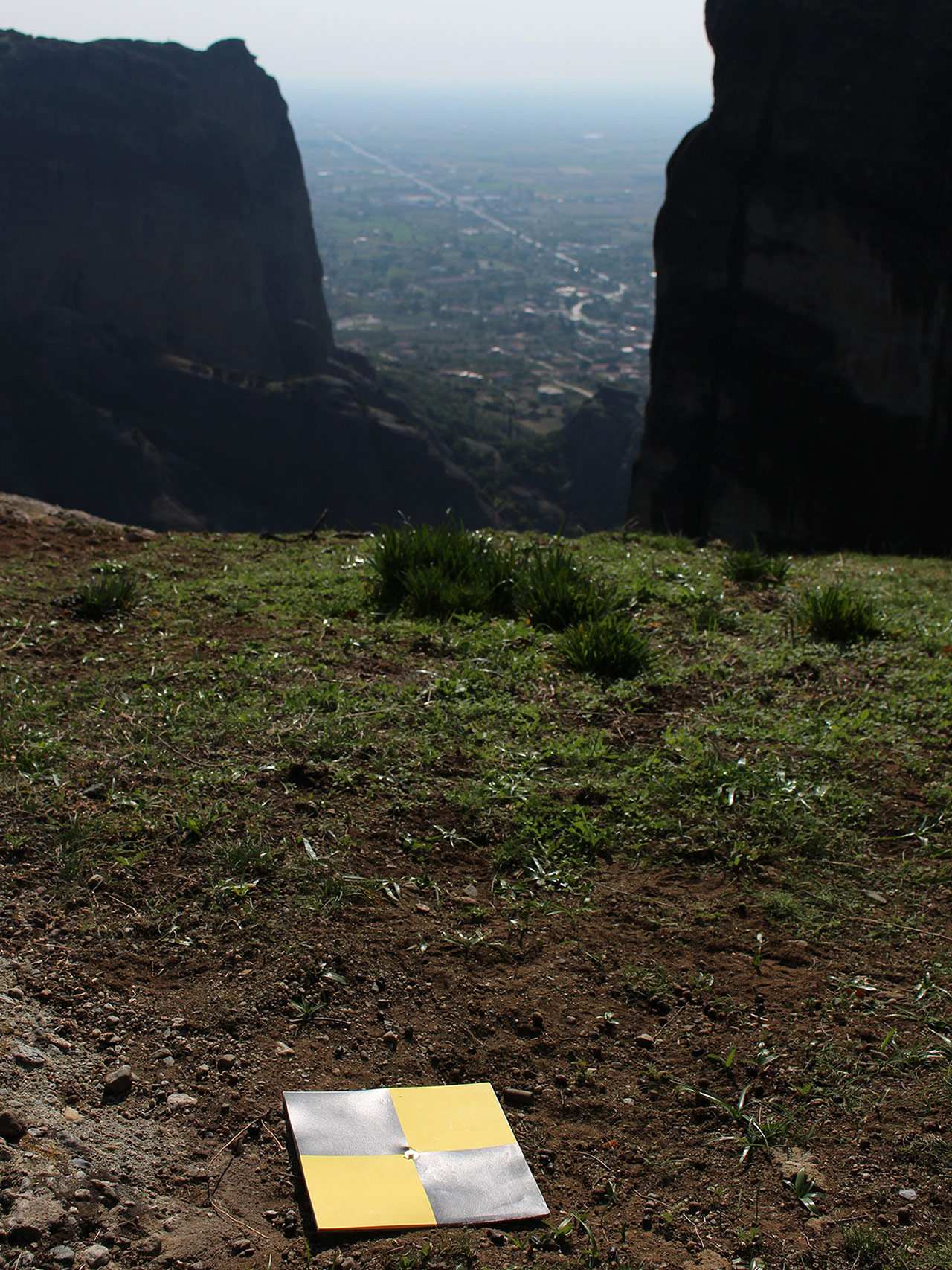
During hiking and climbing, the structural elements (foundations and ruins of an old katholikon (church) and huts etc) located at the top of the rock of Modi, were identified and documented with ground photography to achieve higher level of detail (Figure 7). Along with image capturing, a number of 15 Ground Control Points (GCPs) were measured, some of which were marked at locations around the rocks where access was allowed as well as their placement on the ground (Figure 8, Figure 9). The rest of the control points comprised distinguishable, durable and easily visible from high altitude physical points on the faces of the rocks as well as on the top of Modi rock, where the surveying team had climbed.
Planning of scans:
LiDAR systems, provided by Geosystems Hellas S.A., were used for scanning the Archaeological Site of Meteora, where the rocks Modi and Alyssos are located. LiDAR is a remote sensing method that uses pulsed laser to generate altitude data in the form of point clouds. LiDAR systems are suitable for mapping areas with vegetation and for applications that require quick response. Before performing the laser scanning stage, it is necessary to determine the parameters that will ensure the acquisition of a dense point cloud with satisfactory accuracy. Within this project, the dual-channel airborne mapping system RIEGL VQ-1560i-DW was used. This system incorporates 2 band LiDAR sensors (one activated in near infrared and one in green) in the same cone, as well as two photogrammetric digital aerial cameras of type Phase One IXU-1000RS; one camera captures color aerial images and the other one captures infrared aerial images. The data collection was supported by a GNNS system and an inertial sensor of type Applanix AV-610. The flight planning had the following features:
- Simultaneous capturing of aerial images and LiDAR data.
- Use of a LiDAR sensor activated in two areas of the spectrum at an angle to each other.
- Use of a photogrammetrically calibrated camera and lens.
- Minimum point density of the receiver: 40 (2x20) points per m2 on the ground.
- Ground sampling distance: 8 cm GSD RGB / NIR, scale 1/16000.
A total number of 23 high-resolution RGB aerial images were acquired in 2 flight strips (11 and 12 images), covering a total area of 3.82km2. Point clouds were also acquired for the same area. At the same time, 7 GCPs were measured in the field, well-distributed in the area covered by the aerial images and the point clouds by the RIEGL VQ-1560i-DW system.